About healthsites.io
When a natural disaster or disease outbreak occurs there is a rush to establish accurate health care
location data that can be used to support people on the ground. This has been demonstrated by events
such as the Haiti earthquake and the Ebola epidemic in West Africa. As a result valuable time is
wasted establishing accurate and accessible baseline data.
Healthsites.io establishes this data and the tools necessary to upload, manage and make the data
easily accessible.
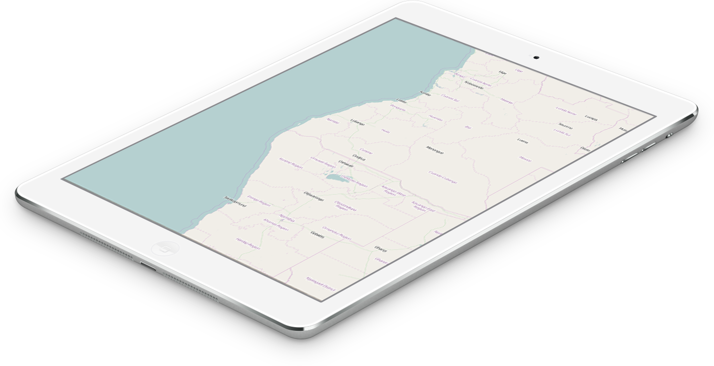
Global scope
The Global Healthsites Mapping Project is an initiative to create an online map of every health
facility in the world and make the details of each location easily accessible.
Open data collaboration
Through collaborations with users, trusted partners and OpenStreetMap we will capture and validate
the location and contact details of every facility and make this data freely available under an Open
Data License (ODBL)'
Accessible
We will make the data accessible over the Internet through an API and other formats such as GeoJSON,
Shapefile, KML, CSV
Focus on health care location data
Our design philosophy is the long term curation and validation of health care location data. The
healthsites.io map will enable users to discover what healthcare facilities exist at any global
location and the associated services and resources.